Plan and Prepare
Routeburn Track Multi-Day Hike
-
Leave from
Queenstown / Glenorchy / Te Anau
-
Return to
Te Anau / Queenstown / Glenorchy
-
Duration
2 nights / 3 days
-
Availability
1st Nov - 30th April
-
Suitable for
Everyone with DOC hut tickets
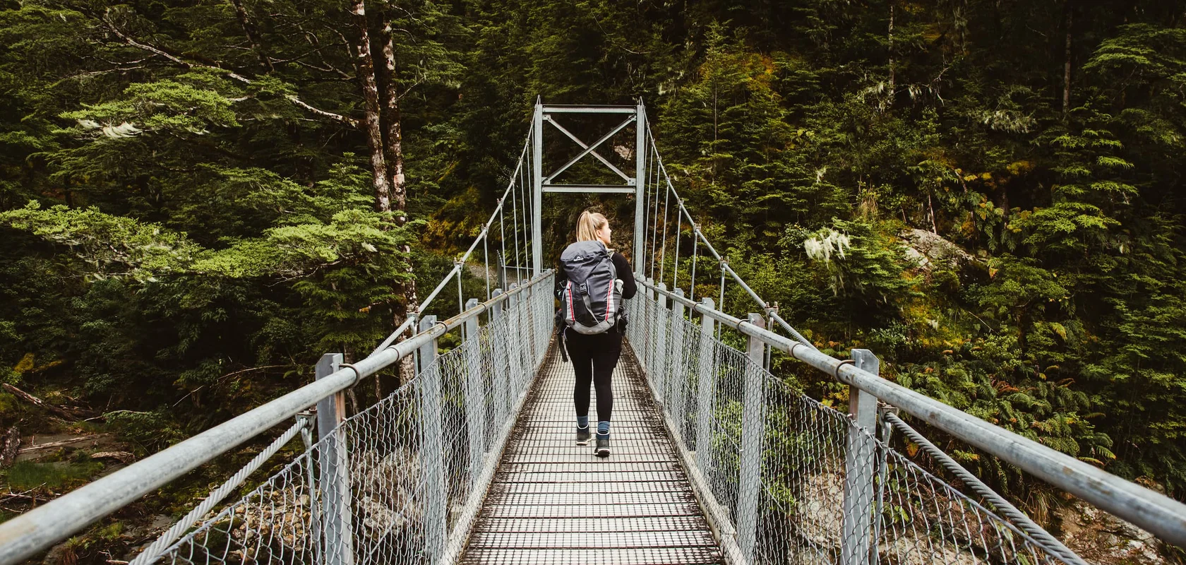
Passing through both Fiordland and Mt Aspiring National Parks, the Routeburn Track is a fascinating slice of the South Island. The track can be hiked from either Glenorchy or The Divide, making it one of the area’s most popular and accessible hiking adventures.
Covering a distance of 33 kilometres (20 miles), the Routeburn Track can take between two and four days to hike. Three comfortable huts along the route provide a good excuse to take your time and explore what’s on offer.
You can hike the Routeburn Track in either direction, as it is a point-to-point walk rather than a loop. The track goes between The Divide (85km from Te Anau) and the Routeburn Shelter (25km from Glenorchy). There are a number of options for track transport, including bus transfers to your start and finish point or a vehicle relocation service which will deliver your car to your finishing point.
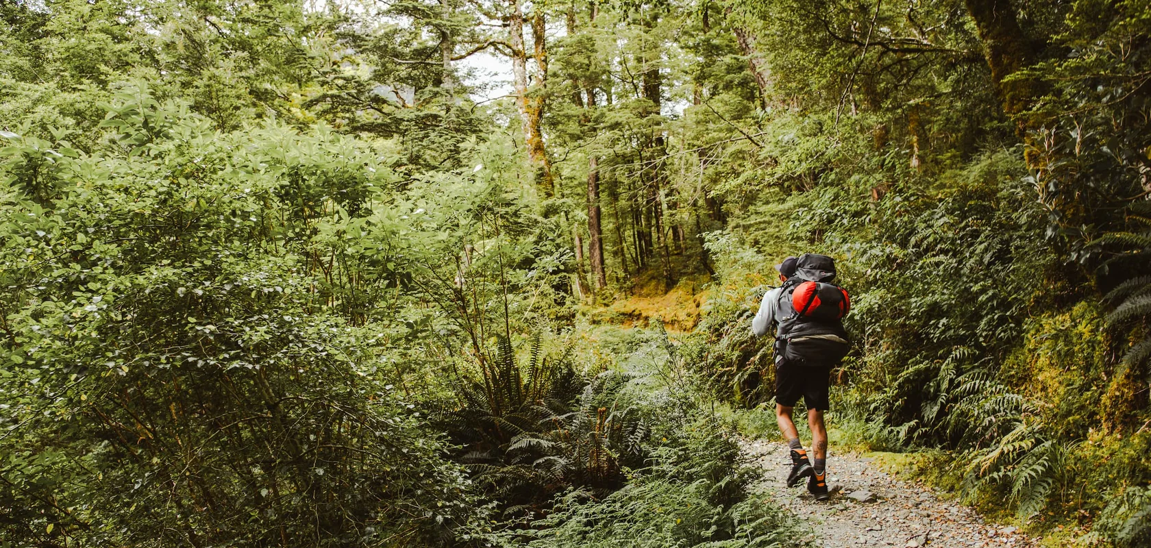
The Routeburn Track is considered an intermediate track and is suitable for anyone with a good level of fitness and hiking experience. There are some steep sections, with the highest point being the Harris Saddle at 1300 metres (4,200ft). With an impressive range of scenery on offer and a good chance of spotting kea, sections of the Routeburn Track are often enjoyed as a day walk.
A walk between two national parks
The Routeburn Track serves up a smorgasbord of scenery at every peak and turn.
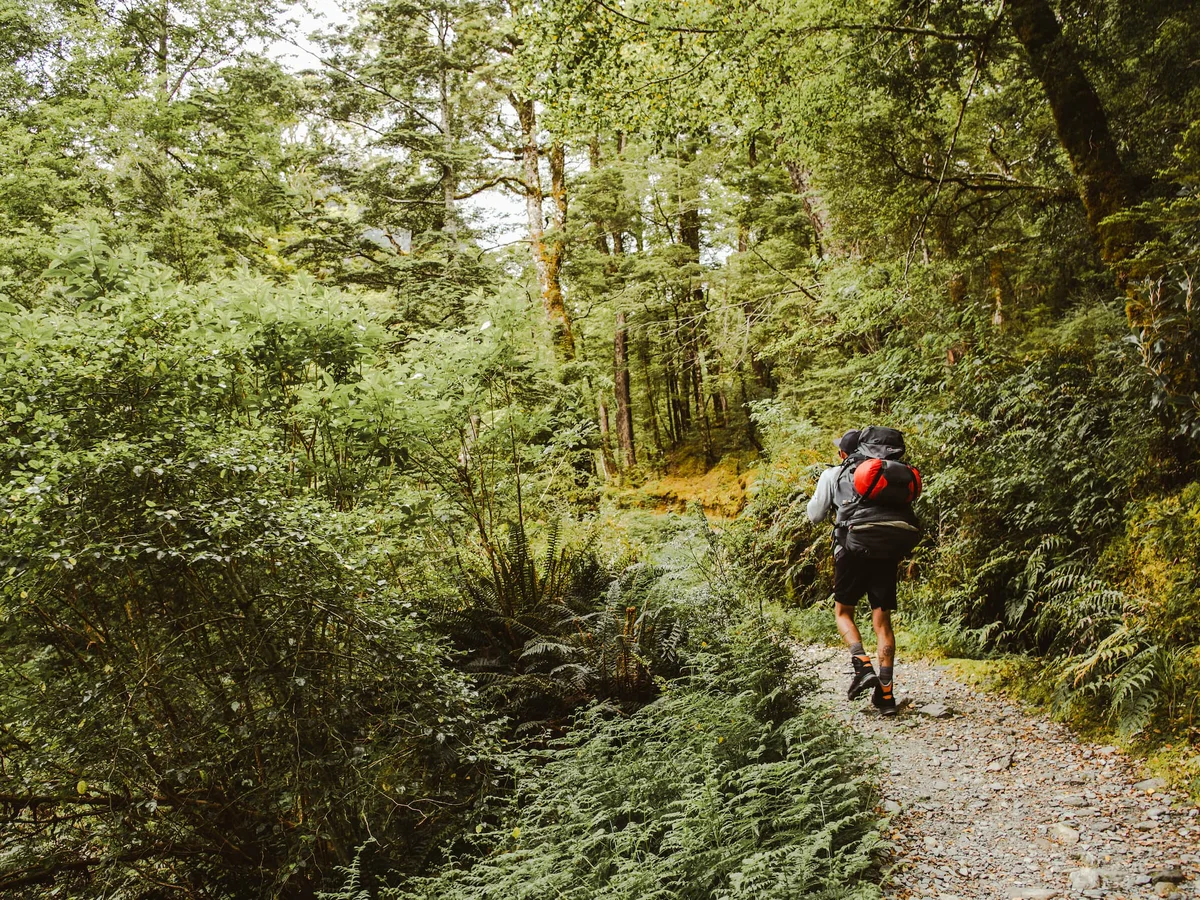
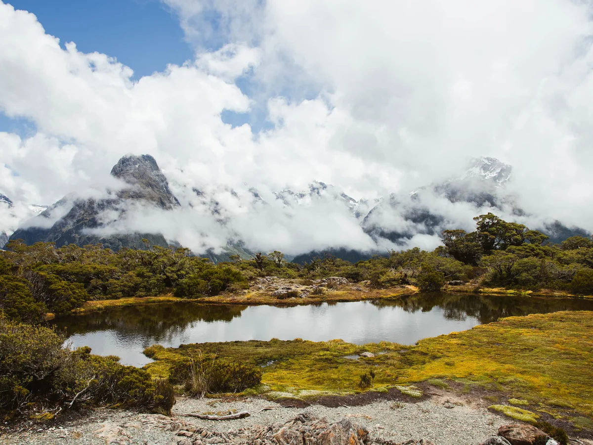
Scenery along the Routeburn Track covers all that New Zealand’s remote wilderness areas are famous for. From picturesque rocky rivers and lush forest to immense mountains, glaciers and lakes. From kea flying overhead to the tiniest lichens underfoot. The Fiordland National Park section of the track is lush, green and dense. Then, as you enter Mt Aspiring National Park, the landscape changes as tussocks and schist rock take over. The transition between the two parks happens quickly and is what makes the Routeburn such a fascinating experience.
The Routeburn Falls Hut is a highlight of the walk, with its impressive position overlooking the Routeburn Valley below and the nearby Humboldt Mountains. The 48-bed hut is just 8 kilometres from the Routeburn Shelter and is a good place to rest up if you’re walking with young hikers.
Closer to The Divide end of the walk, Key Summit serves up breathtaking views over the Hollyford Valley and Darran Mountains.
How to access the Routeburn Track
The Routeburn Track is walked from either side of the divide, either at The Divide car park along the Milford road or the Routeburn Shelter near Glenorchy. Because you finish in a different location to where you start, you will need to ensure you have return transport arranged.
Bus transfers service either end of the Routeburn Track. Another option is a vehicle relocation service which delivers your car to your finishing point. While you are walking the 33-kilometre track, they will drive your car the 324 kilometres between the start and finish point!
It is not advised to walk the Routeburn Track outside of the Great Walks season due to the possibility of snow and poor weather conditions.

Highlights
Arrange a car relocation service and your vehicle will be a welcome sight waiting for you at the end of your hike.
Bus services run from either end of the walk at The Divide car park or the Routeburn Shelter.
The Routeburn Track is a New Zealand Great Walk and offers an incredible array of wilderness scenery.
Day walk options from either end of the track can be accessed by a bus service.
Book Routeburn Track Transport
Available 1st October - 30th April
FAQs
- Where do I need to meet my transport to Routeburn Shelter
-
In the Queenstown CBD, all the instructions and directions will be sent in your confirmation email.
- Why walk the Routeburn track
-
Because it's a Great Walk and it's one of our favourites!
- What level of fitness do you need to do The Routeburn track
-
Fairly good level of fitness is required. This is a great first Great Walk option as it's much shorter than the Kepler or Milford at just 33kms.
- Which is better Routeburn or Milford Track?
-
It’s a debate that rages amongst many backcountry hikers – which is better Milford Track or Routeburn Track? For us, it’s a moot point. Any experience hiking in the South Island is absolutely spectacular, and the best solution is to do both!